Welcome to the Jennings Geomatics Blog
Welcome to the inaugural post of Jennings Geomatics' blog.
I'm Charles Jennings, the Director of Jennings Geomatics, and I am excited to use this platform to delve into issues related to surveying, mapping, training, and technical services.
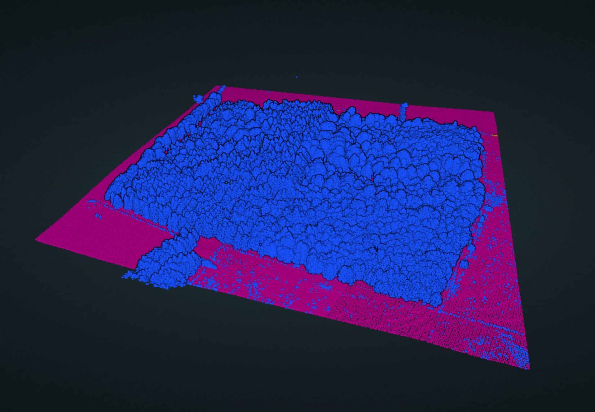
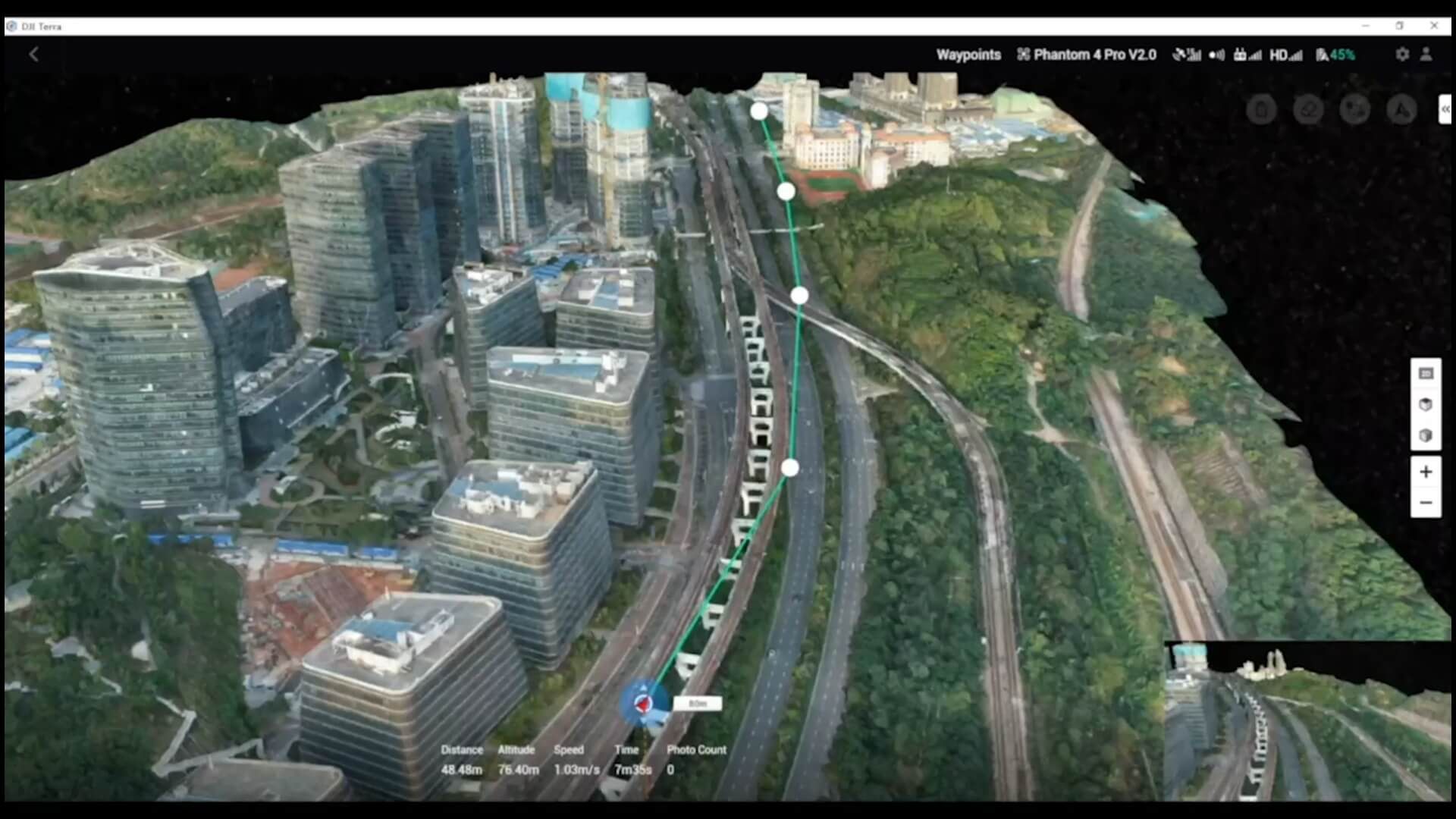
As a company, our aim is to add value and make a living in these practical areas. However, the impact of these issues extends beyond business and into wider society. As the world becomes more populated, the need to understand growing and complex societies increases. Quantitative methods are used to capture reality and create digital twins, which enable societies to manage themselves more effectively by using geospatial big data to find patterns and create efficiencies.
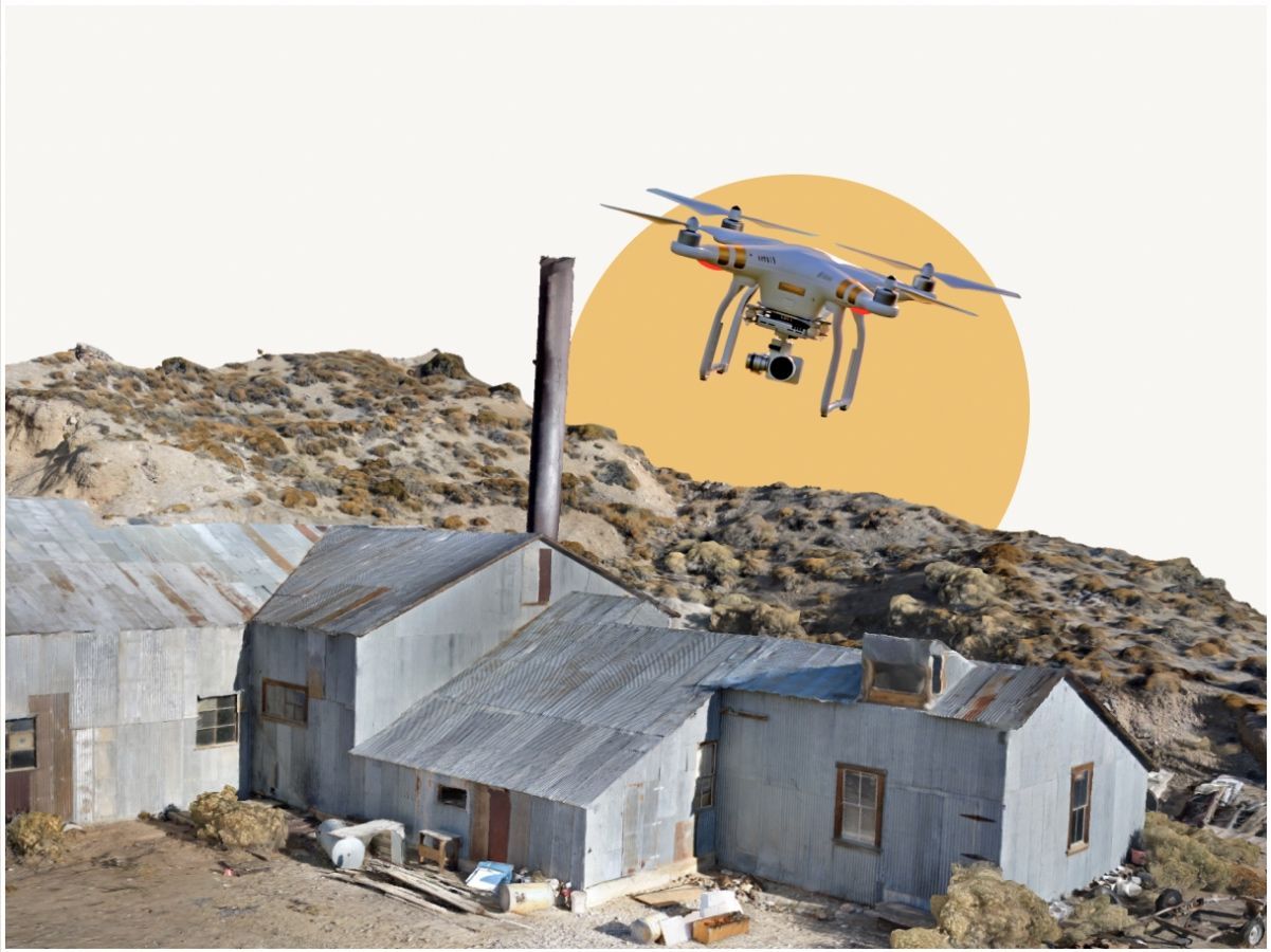
At Jennings Geomatics, we have speclists who contribute to collecting and making sense of this data. Our blog seeks to highlight the roles of remote sensing professionals, drone pilots, and surveyors in expanding the repositories of spatial data. We also keep a keen eye on what geospatial and social scientists are doing with the data that is collected.
Through this blog, we hope to answer questions surrounding the collection of data, such as how we can have faith in the answer the data is suggesting, how we can ensure the answer offered matches the real world, and how we can make humans a more efficient means of collecting data.
We will also explore how we can improve how the data is stored, categorised, and delivered, as well as how data collection teams can become more efficient. Additionally, we will tackle the challenge of getting answers to small specific problems when mass data cannot give us the precision and location we need.
If you have any questions about spatial data and how it can be used to make sense of our complex world, feel free to reach out to Jennings Geomatics on LinkedIn.
The purpose of this blog then is to answer some questions surrounding the collection of data which helps spatial intelligence make sense of our complex world.
For Example:
- What questions can be asked of spatial data?
- How can we have faith in the answer the data is suggesting?
- How can we be sure the answer offered matches the real world?
- How can we make humans a more efficient means of collecting data?
- How can we make the data they collect more robust?
- How can we improve how the data is stored, categorized and delivered?
- How can data collection teams become more efficient?
- How can we get the answers to small specific problems when mass data cannot give is the precision, location in the time frame needed?
- How can we deliver the answer to the client at the lowest cost given the spatial question at hand?
Watch this space for more informative pieces on the technical side of geospatial data collection.