
Providing businesses with the tools to make data-driven decisions
We exist to provide the answers to spatial questions
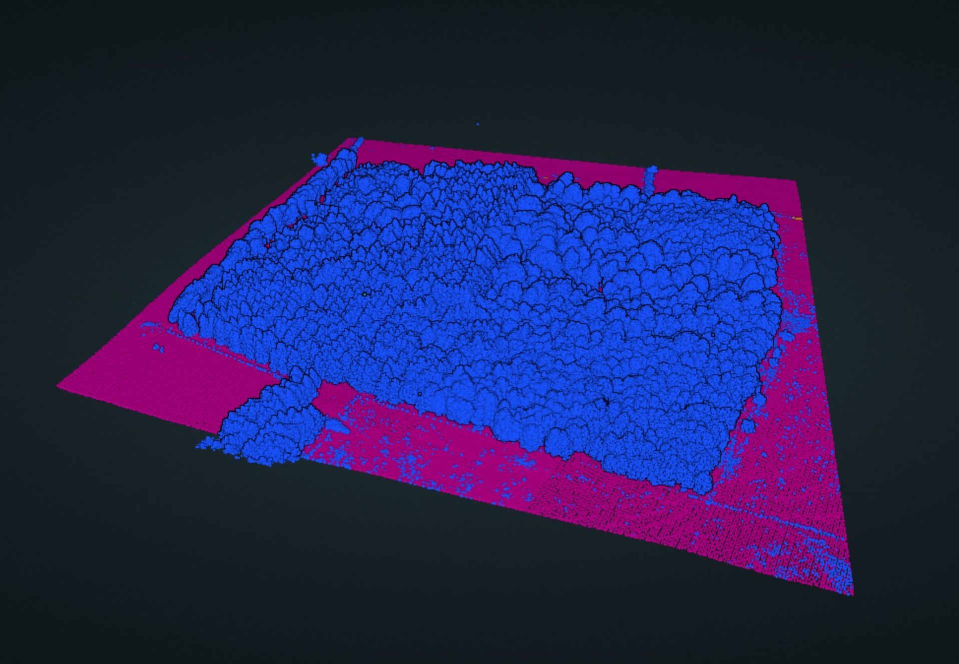
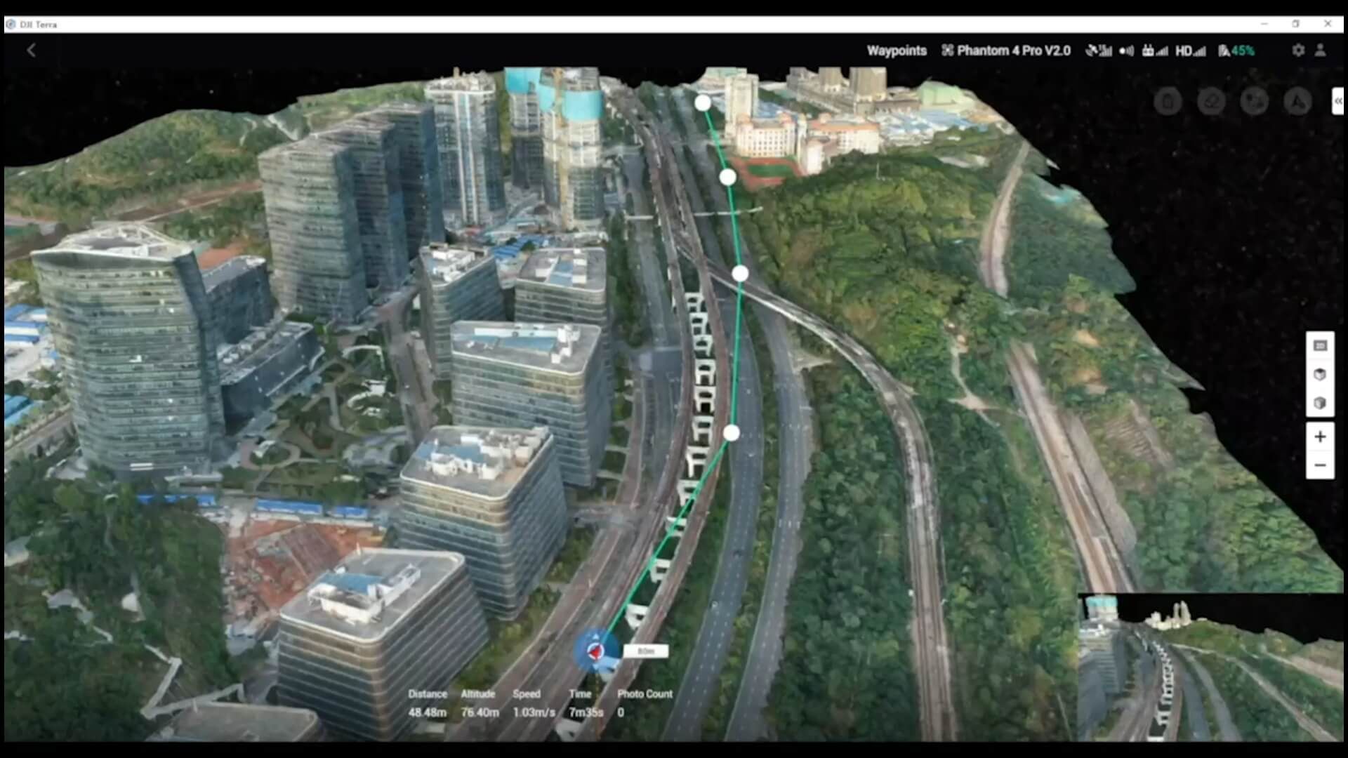
Jennings Geomatics specialises in providing the best hardware, software, and workflows for geospatial data collection tailored to your clients' requirements. Our expertise ensures that you can gather accurate data efficiently and implement workflows that streamline your operations for future projects.
About the Company
Founded in 2021, Jennings Geospatial leverages cutting-edge technology to empower businesses with swift and insightful answers to their spatial questions. Our team, led by a Charles' expertise in geospatial data analysis, drone piloting, and engineering surveying, enables us to offer a diverse range of solutions to help our customers succeed. We are dedicated to exceeding your expectations and delivering real value through bespoke solutions.