What are SLAM and TLS? When might we use each of these scanning tools?
SLAM Scanning
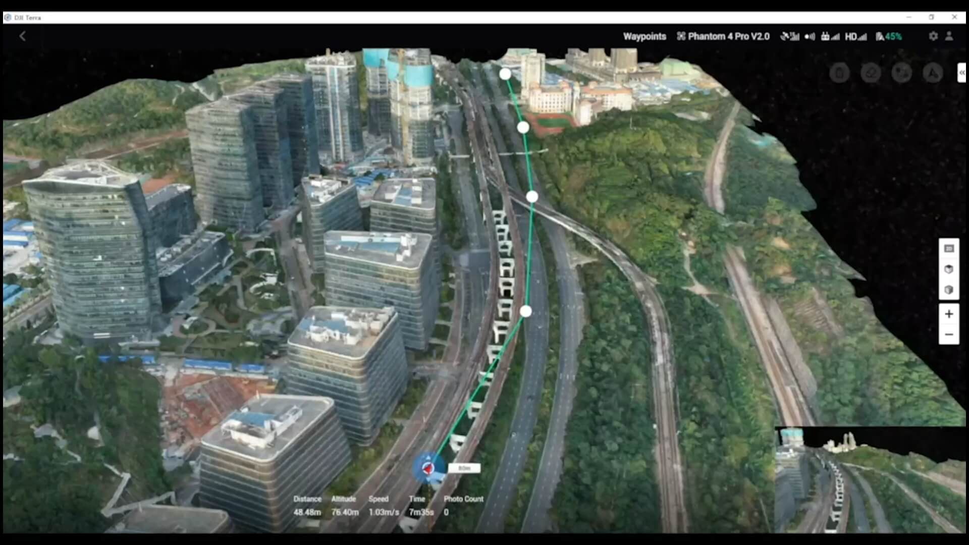
SLAM scanning is a technique that uses a combination of sensors and algorithms to create a 3D model of an environment in real-time. The sensors used in SLAM scanning include cameras, LiDAR, and other types of sensors that capture data about the environment. The algorithms then process this data to create a 3D model of the environment, which can be used for a variety of applications, such as mapping, construction, and inspection.
One of the primary advantages of SLAM scanning is that it can be done in real-time, which makes it ideal for applications where speed is important. For example, SLAM scanning can be used to quickly create a 3D model of a construction site, allowing project managers to monitor progress and make decisions in real-time. SLAM scanning is also ideal for environments that are difficult to access, such as underground tunnels or complex indoor spaces.
However, there are also some limitations to SLAM scanning. Because it relies on mobile sensors to capture data, which are lighter, cheaper and lower precision SLAM scanning may not be as accurate as other methods, such as TLS.
You can expect then to be able to gather data for low precision measured building and topographical surveys, meeting RICS band F
.
Additionally, SLAM scanning requires a lot of computational power, which means you need a very powerful computer to process data sets and this can take a long time especially when lots of data is gathered in a day.
Terrestrial Laser Scanning (TLS)
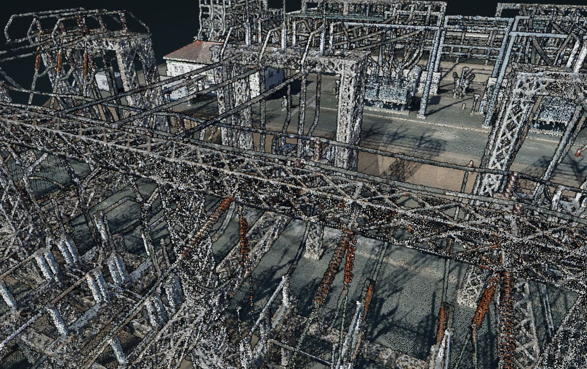
Terrestrial Laser Scanning (TLS) is a technique that uses a laser scanner to capture 3D data about an environment. The laser scanner emits a beams of light that scans the environment, capturing millions of points of data that are used to create a 3D model. TLS is accurate, with some scanners able to capture data with sub-millimetre precision.
One of the primary advantages of TLS is its accuracy. TLS is ideal for applications where accuracy is paramount, such as engineering, architecture, and heritage preservation. This means you can reach RICS band B or C.
Additionally, because TLS captures such a large amount of data, it is ideal for creating detailed 3D models that can be used for a variety of applications.
However, there are also some limitations to TLS. Because it requires a laser scanner, TLS may not be as fast as other methods, such as SLAM scanning. Additionally, TLS requires a lot of processing power to create a 3D model, which may be time-consuming.
When to Use SLAM Scanning and When to Use TLS
So, when is it appropriate to use SLAM scanning and when should TLS be chosen instead? The answer depends on the specific application and the requirements of the project.
If speed is important and accuracy is not critical, SLAM scanning may be the best option. For example, SLAM scanning can be used to quickly create a 3D model of a construction site or to map an area for disaster relief efforts.
On the other hand, if accuracy is paramount and speed is not a concern, TLS may be the best option. For example, TLS can be used to create detailed 3D models of historic buildings or to capture precise measurements of engineering components.
In some cases, a combination of both methods may be appropriate. For example, SLAM scanning could be used to quickly create a rough 3D model of an environment, which could then be refined using TLS to create a more accurate model.
Conclusion
In conclusion, both SLAM scanning and TLS have their advantages and limitations, and the choice between the two depends on the specific application and project requirements. If you're not sure which method to choose, it's always best to consult with experts in the field, such as Jennings Geomatics, who can provide guidance and recommend the best approach for your project. By working with professionals who have experience in 3D data capture and modelling, you can ensure that your project is completed accurately, efficiently, and to the highest standards.
Want more information?

Jennings Geomatics
Policies
Latest news


