What is KickTheMap?
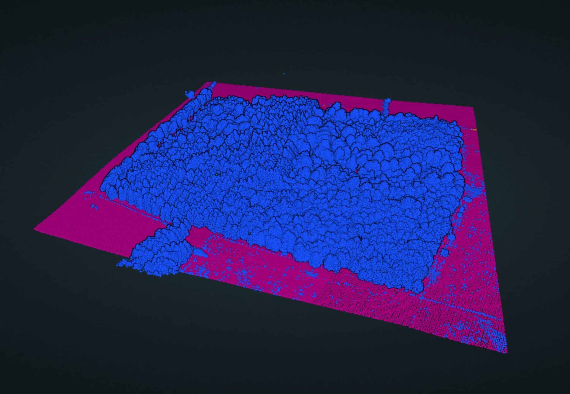
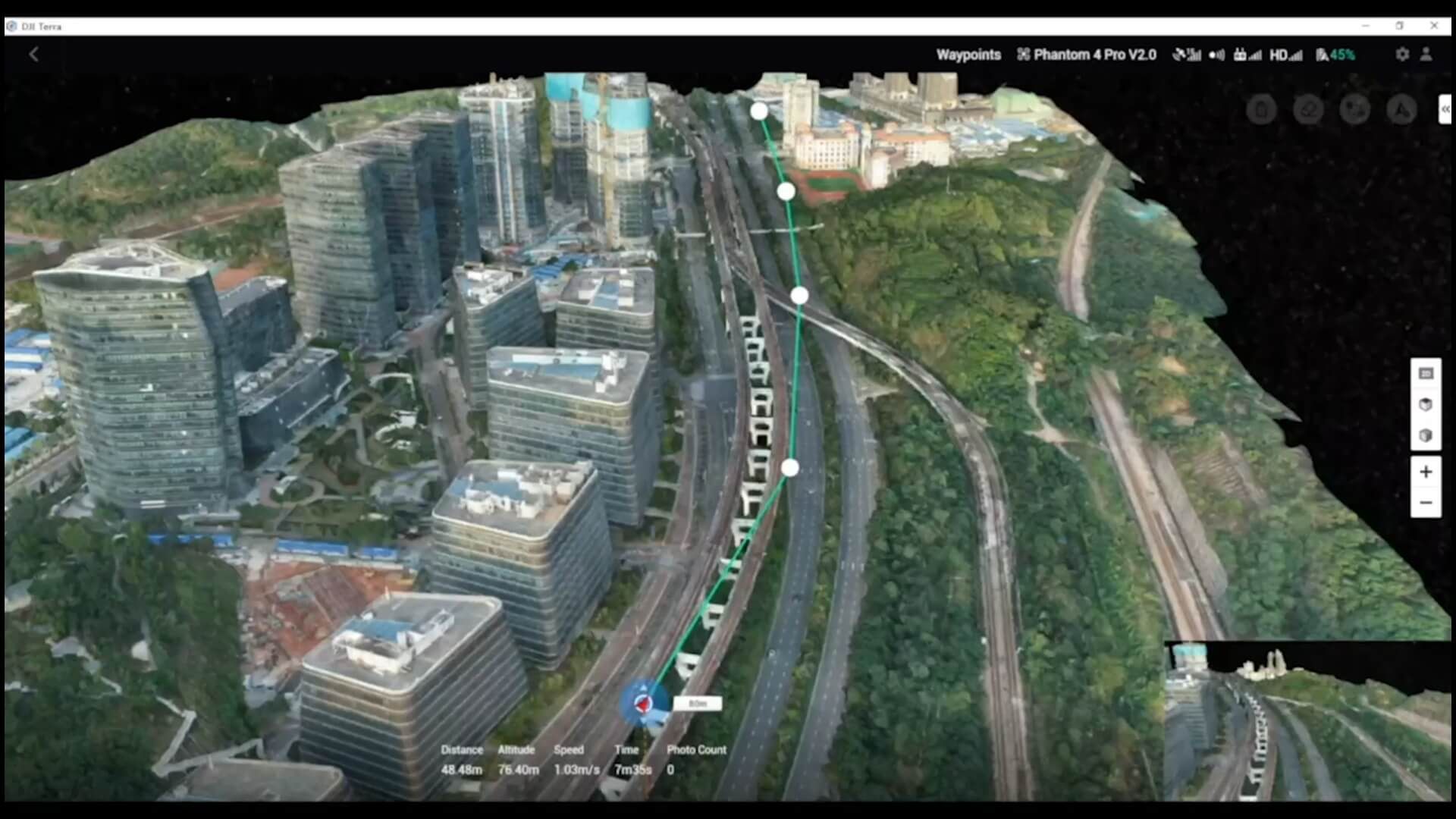
KickTheMap is a mobile application designed for creating accurate 3D models through photogrammetry. This app is particularly useful for professionals needing to perform tasks like utility mapping, volume calculations, and infrastructure modelling, including roads, bridges, and tunnels.
Multi-band GNSS RTK Receiver
KickTheMap HaX GNSS RTK Rover is a high-precision GNSS receiver specifically designed to work with the KickTheMap 3D mapping app. Compatible with both iOS & Android devices, it enables you to georeference your surveys accurately.
FAQs
How does it work?
The mobile app enables users to capture environmental data and upload it to the KickTheMap cloud. Once processed, the 3D model is available on our web platform (my.kickthemap.com), and the user receives an email notification. Each user has secure access to all their 3D models. The delivery time primarily depends on the volume of uploaded data, but for projects with fewer than 1000 pictures, the 3D model is guaranteed to be delivered within 24 hours.
What data does the KickTheMap app collect?
The KickTheMap app captures only still images along with some geospatial data to facilitate 3D reconstruction. The app doesn't require prior experience in photogrammetry or 3D modeling, as it automatically takes pictures based on device movement. No video is captured by the app, as still images are much lighter and of better quality than video frames for 3D reconstruction.
What accuracy can I expect?
Accuracy depends on several factors such as the device camera sensor, lighting, distance between the device and target, and data quality (avoid fast movement and quick rotations). Under nominal conditions, a relative error of 5 cm (2 inches) Root Mean Square Error (RMSE) can be expected. For more information, email us at: info@jenningsgeomatics.com
How can I georeference my model or scale it?
The GNSS RTK Rover HaX allows you to directly georeference all your surveys.
If you do not own the HaX, the KickTheMap app features a unique capability to accurately capture ground control points for georeferencing 3D models. At least three control points, well distributed around the area of interest, are required. Coordinates related to these control points can be uploaded to the web platform to initiate the 3D reconstruction.
If you do not have control points, you can still scale your model using a scale bar to ensure good relative accuracy.
What can I do in the 3D web platform?
The web platform allows users to visualise, measure (distances and volumes), draw features (with attributes), and export objects to third-party software such as AutoCAD or GIS software.
This is not mandatory, however, as you can also download raw data in a range of formats, including orthomosiac and point clouds, to incorporate them into your existing workflow.


