Exploring the Benefits of Cloud Processing for Smartphone Photogrammetry
Smartphone photogrammetry is becoming more and more popular for creating 3D models and maps of real-world objects and environments.
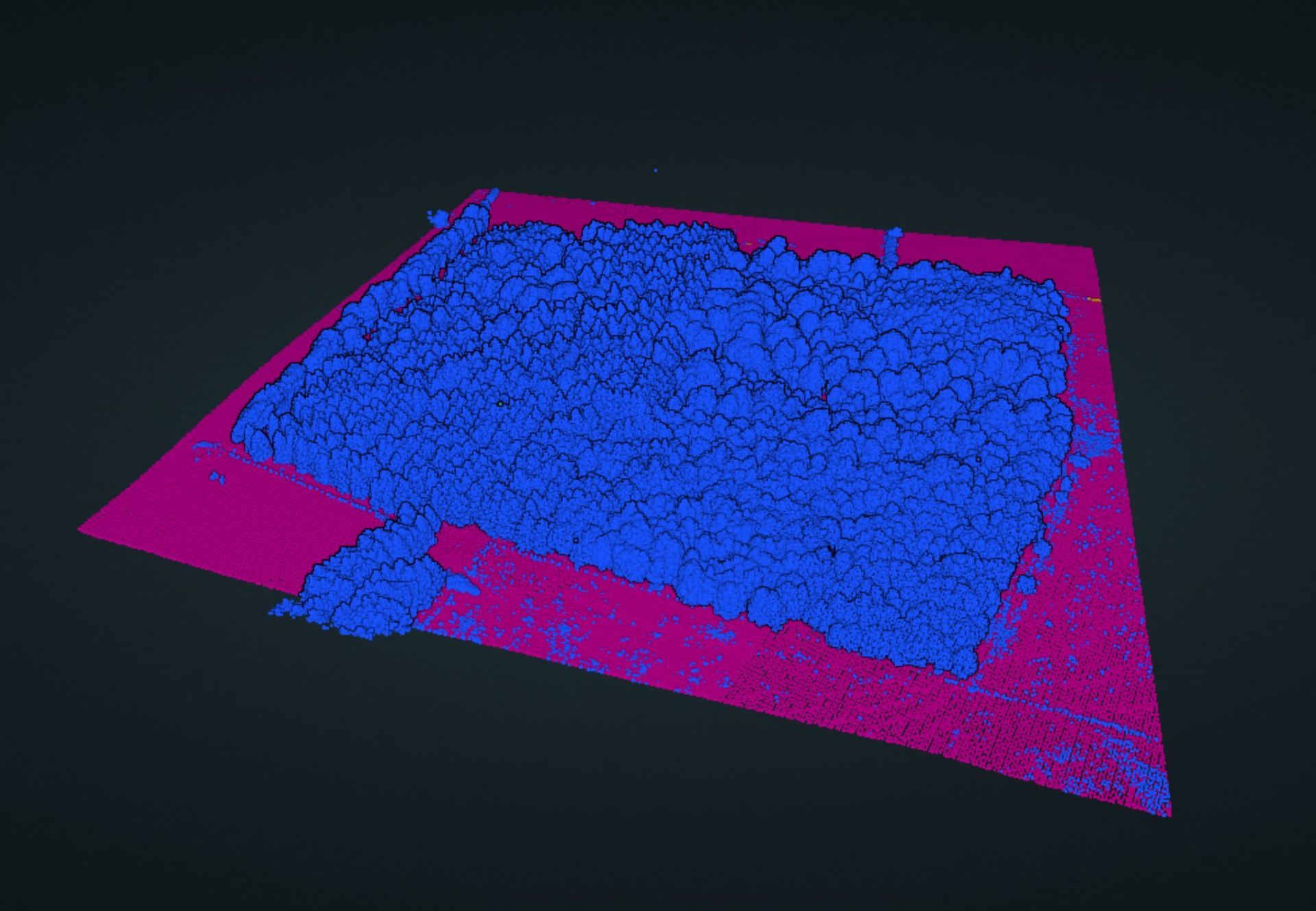
One of the biggest challenges with using smartphones for photogrammetry is processing power. Fortunately, cloud processing can help alleviate this problem.
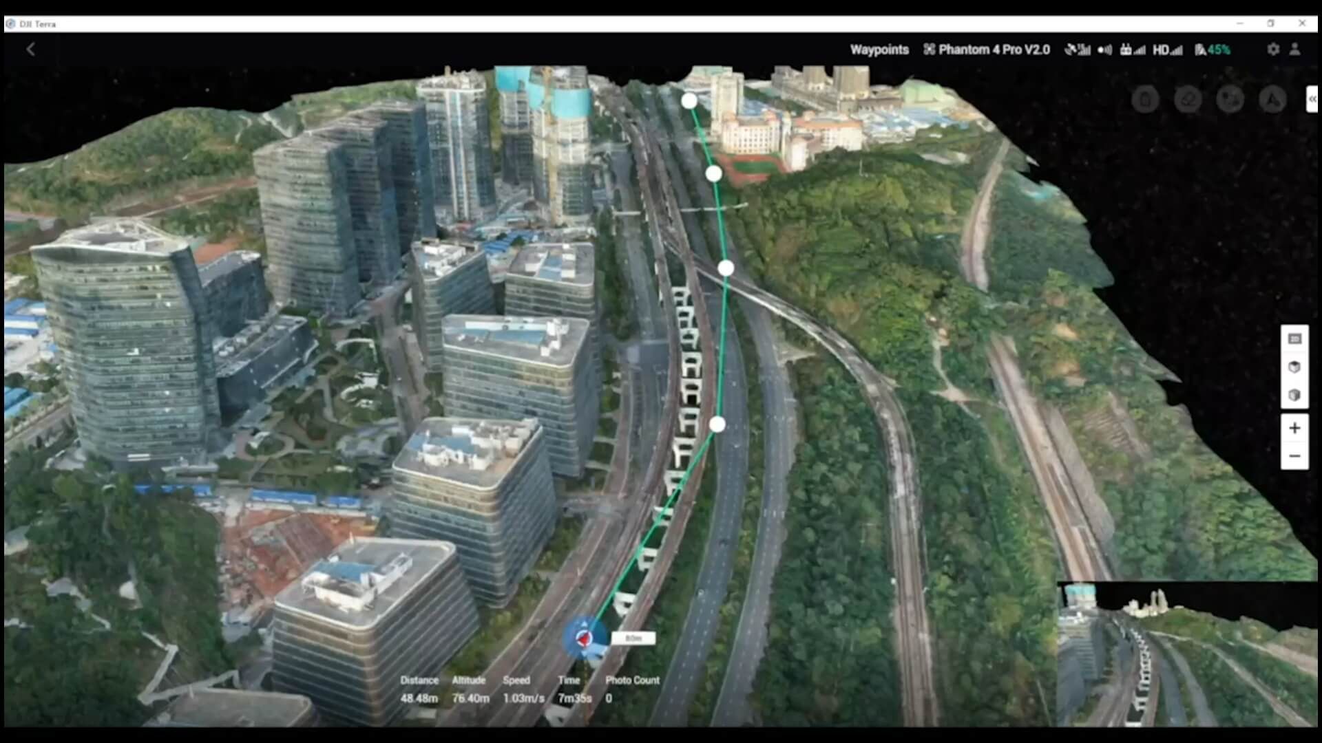
Cloud processing involves uploading images and data to a remote server for processing, which is done by powerful computers with advanced algorithms. This allows for more complex and resource-intensive processing to be done, without having to rely solely on the processing power of the smartphone.
KickTheMap is a mobile app designed to turn smartphones into professional-grade 3D scanners.
One great solution for smartphone photogrammetry is Polycam, an app that uses cloud processing to create 3D models and maps. Polycam is unique in that it does not require the use of LiDAR, which can be a limiting factor for people whoa re not iPhone users.
While cloud processing has made photogrammetry accessible to everyone with a smartphone. With apps like Polycam, you can create detailed 3D models without the need for additional hardware like an iPhone or traditional Lidar scanner.
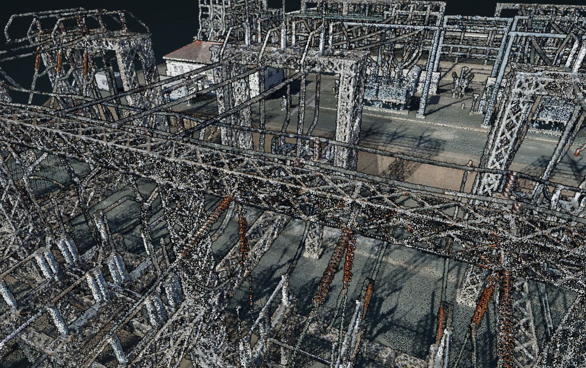
However, it is important to note that while Polycam is an excellent solution for many smartphone photogrammetry needs, it is not always the only solution. For more advanced photogrammetry projects, it may be necessary to consult with a professional geomatics company like Jennings Geomatics. They can provide more sophisticated and customised solutions for specific project requirements.
Whether you're a hobbyist or a professional, the world of photogrammetry is rapidly advancing, and it's exciting to see how cloud processing is making this technology more accessible to everyone.
Check out Polycam here - www.poly.cam
And find out more about Jennings Geomatics services here