All your demands. Met.
At Jennings Geomatics, we provide end-to-end technical support and guidance throughout construction, environmental, and infrastructure projects. Our services are divided into four key areas to address all aspects of your geospatial needs.
DATA CAPTURE
Acquisition, processing, and interpretation of data for your projects
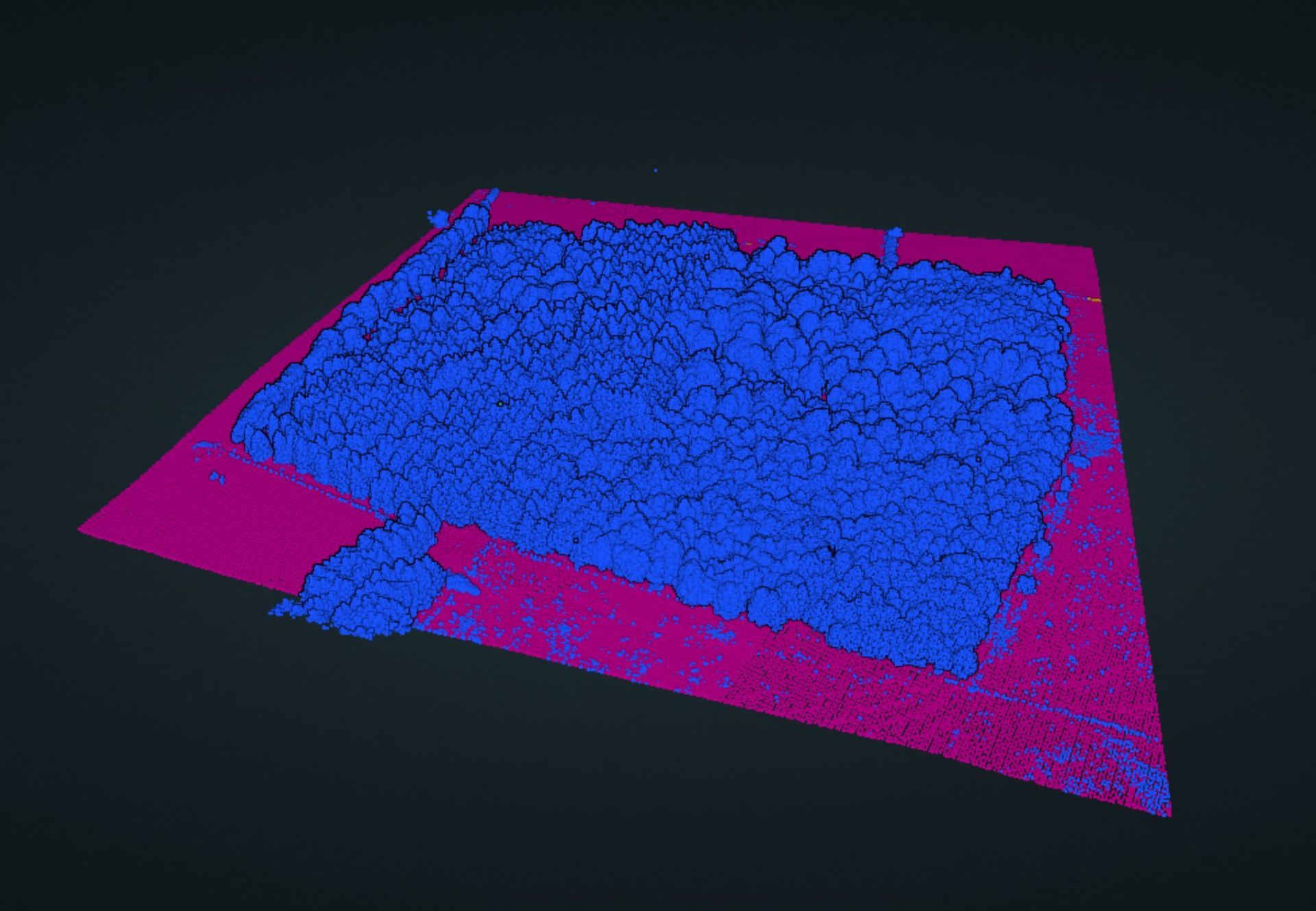
We specialise in advanced techniques photogrammetry, TLS and SLAM scanning and point cloud AI, utilising state-of-the-art technology to collect and process precise geospatial data efficiently.
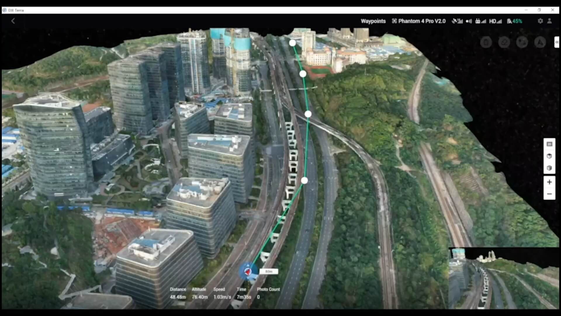
We can offer our affordable reality capture solutions or find tools to aid in the creation of detailed 3D models and virtual environments, enhancing project planning and execution. Additionally, we employ high-precision control technologies and traditional workflows to ensure the highest accuracy in data collection, catering to diverse project requirements.



BUSINESS SYSTEMS
Helping you identify key market opportunities that advance your business
In product development, we innovate and create solutions that meet the evolving needs of the geospatial industry, enhancing productivity and delivering superior results. We also provide strategic guidance in sales and business development, helping your company identify new market opportunities and expand its client base. Our consulting services optimise sales processes and drive business growth.
Reduce Costs
Reduce Downtime
Reliable Service
PROCESS WRITING
Process Improvement Through New Technology
Our expertise in process writing ensures the creation of clear and concise documentation that outlines best practices for every aspect of your geospatial operations. This commitment to process improvement through the adoption of new technologies guarantees consistency and enhances efficiency across your projects.
Process Writing
Geospatial Services
Data Visualisation
TRAINING
Bespoke programmes tailored to your team’s needs
At Jennings Geomatics, we ensure proficiency by utilising the latest geospatial tools and techniques. Our experts develop customised workflows that streamline operations and improve data accuracy, empowering your team to meet client specifications with confidence and cost-effectiveness.
We collaborate closely with clients to understand their specific needs and objectives, delivering tailored solutions that meet their unique requirements. With our precision geomatics consulting, you can achieve excellence in all your geospatial projects.
Bespoke Courses
Dynamic Delivery Methods
Innovative Technology
